Discover the region
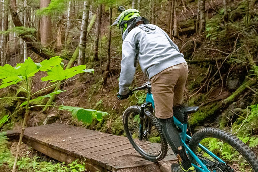
Terrace is the regional hub for business, medical and government services. There is a reason people come from kilometres around to access our great shopping, restaurants, nightlife and accommodations.
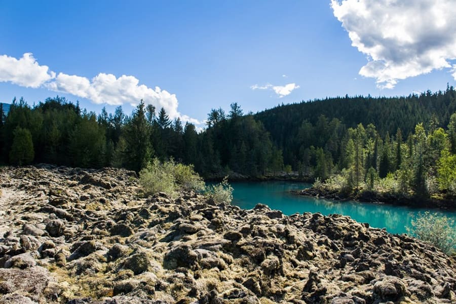
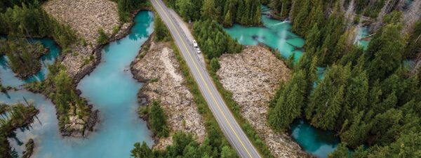
The Nass Valley
The dramatic landscape fused with the rich Nisga’a culture makes the Nass Valley a very unique experience. Nisga’a Memorial Lava Bed Provincial Park offers visitors a chance to explore a volcanic landscape and learn about the culture and history of the Nisga’a people. Don’t miss the Nisga’a Museum, the hot springs or a stop at the cone of the volcano.
Learn More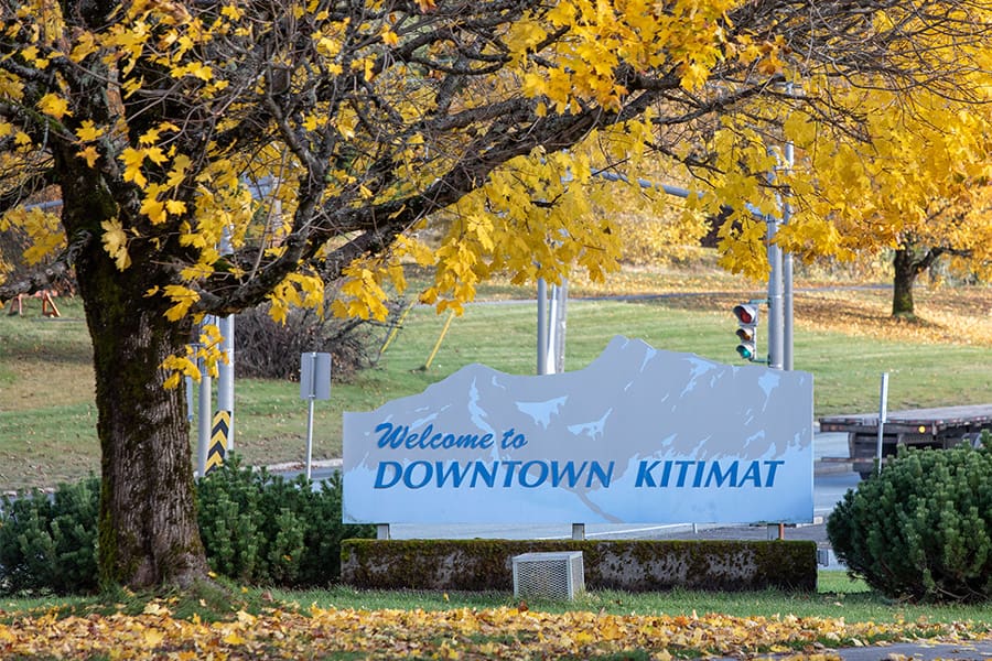
Kitimat
Kitimat sits at the mouth of the Kitimat River at the head of the Douglas Channel and it’s just a 45-minute drive from Terrace. It draws its name from the nearby Haisla community of Kitamaat (meaning “people of the snow”), who have inhabited this coast for as long as 8,000 to 12,000 years.
Learn More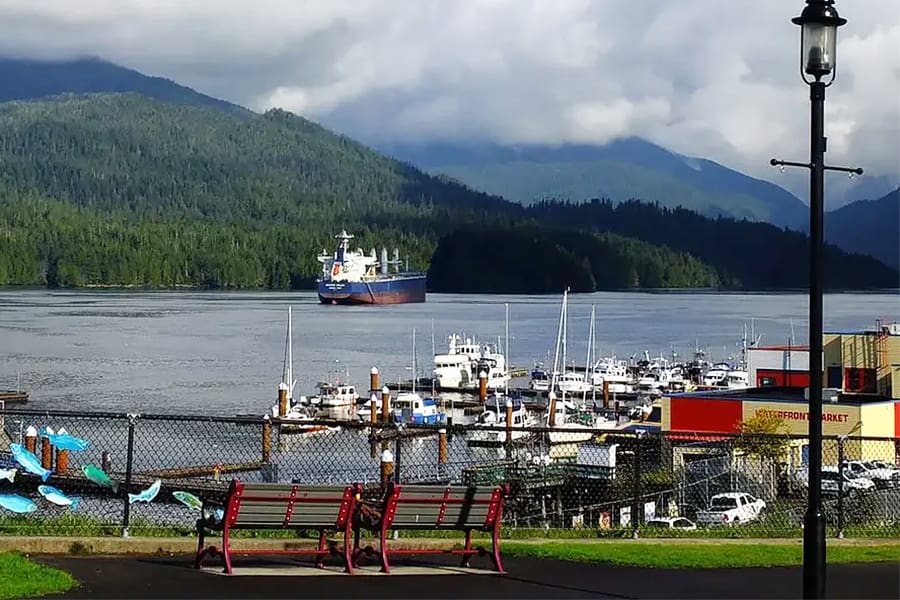
Prince Rupert
Prince Rupert is a port city on BC’s northwest coast, and is a 153 km (96 mile) drive from Terrace. Shops and cafes dot the waterfront Cow Bay area, most of which feature local, fresh seafood. The Museum of Northern B.C. showcases the region’s natural and cultural heritage. When the cruise ships are in, the city bustles with excitement.
Learn More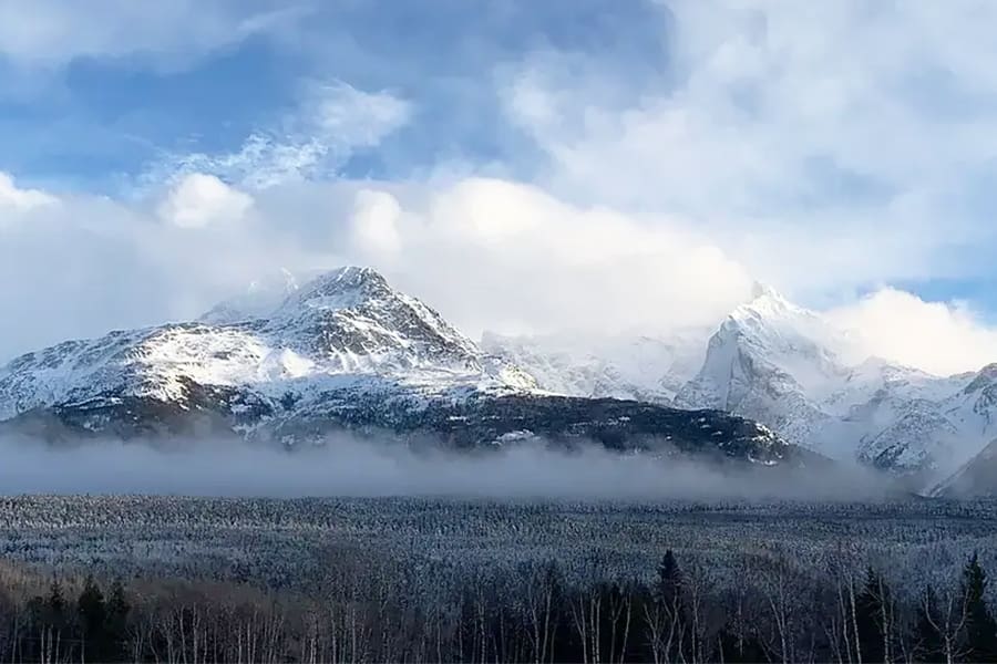
Kitwanga (Gitwangak)
Now a National Historic Site, the little village of Kitwanga sits at the crossroads of Hwys 16 & 37 Hwy 37, about 80 km (50 miles) east of Terrace. The grass-covered hill at Kitwanga was the scene of fierce First Nation tribal battles two centuries ago, which resulted in the destruction of the Gitwangak fort and cedar dwellings that once stood to protect the Gitksan people, their fishing sites and the active trade routes in the region.
Learn More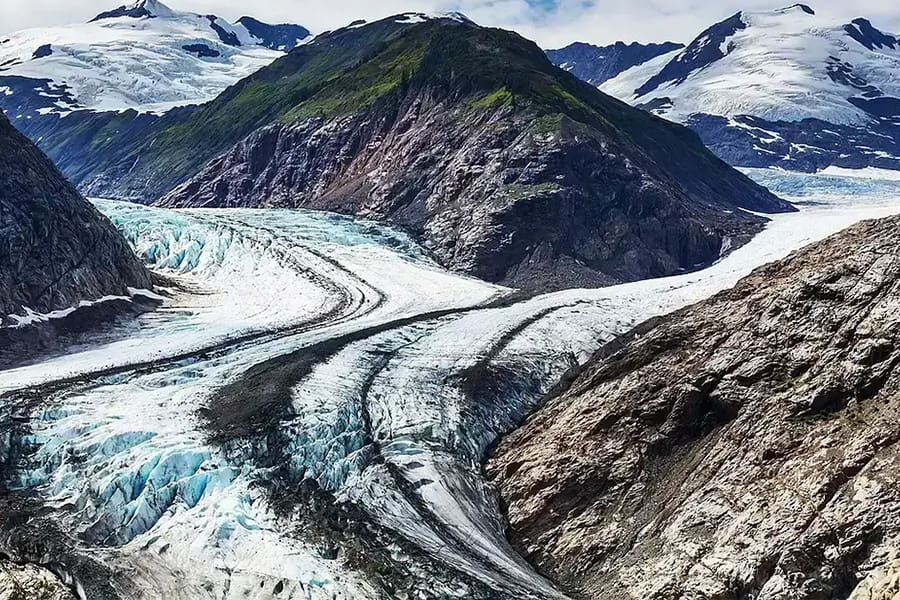
Stewart
The Glacier Highway links Stewart with Highway 37, winding past the spectacular mountains and hanging glaciers of Bear Pass. The breathtaking Bear Glacier beckons with ancient blue ice that sparkles like a jewel. Located 311 km (193 miles) from Terrace, this world-famous bear watching, glacier tours and breathtaking scenery make this trip a must!
Learn More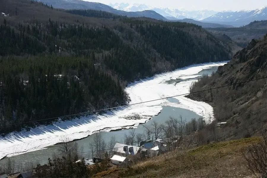
Telegraph Creek
The exposed and narrow road to Telegraph Creek is well known in northern BC. The community is located off the Stewart-Cassiar Hwy 37, travelling 100 km west from Dease Lake. Probably the most remote town in BC that is accessible by road, the trip to Telegraph Creek gives visitor a breathtaking view of “Canada’s Grand Canyon” – the Grand Canyon of the Stikine River. Telegraph Creek is the only permanent settlement on the Stikine River and is home to members of the Tahltan First Nation.
Learn More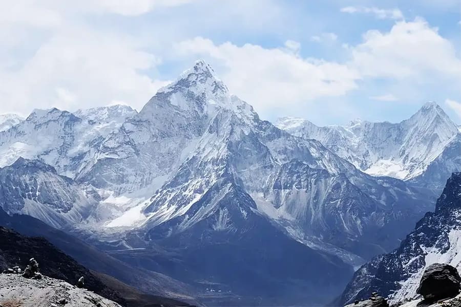
Smithers
Located 203 km (127 miles) east of Terrace, you can round out your northwest experience with a visit to the picturesque town of Smithers, located in the Bulkley Valley. Known as “Little Switzerland”, having adopted an alpine theme for its downtown core, the area’s panoramic scenery is matched only by the genuine warmth of its community.
Learn More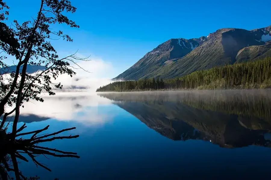
Iskut
Breathtakingly placed between Mount Edziza Park and Spatsizi Plateau Wilderness Park, about 500 km (310 miles) north of Terrace on the Stewart/Cassiar Highway 37, is the small Tahltan community of Iskut. Iskut is located in the heart of outdoor recreation opportunities in the surrounding mountains, forests, parks, lakes and rivers that abound in the area.
Learn More
Meziadin Junction
Meziadin Junction is located 156 km (97 miles) north of Kitwanga (Gitwangak) on the Stewart-Cassiary Hwy 37, and 65 km (40 miles) east of Stewart. There is a small grocery store, a gas station, a restaurant and some RV hook-ups. Meziadin Lake Provincial Park, located just 3 km (1.9 miles) from Meziadin Junction, has a very nice campground which features salmon spawning creeks near the lake.
Learn More
Dease Lake
Dease Lake is located on the Stewart-Cassiar Highway 37, about 582 km north of Terrace (362 miles). It is a popular place for travellers to stop and stock up on supplies en route to the breathtaking landscapes and scenery of the Yukon and Alaska.
Learn More
Explore the Region
From exciting outdoor adventures to discovering arts and culture, Terrace offers so much to see and do.
Learn More